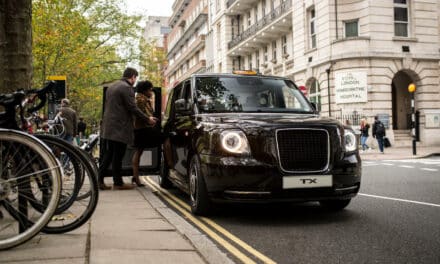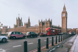
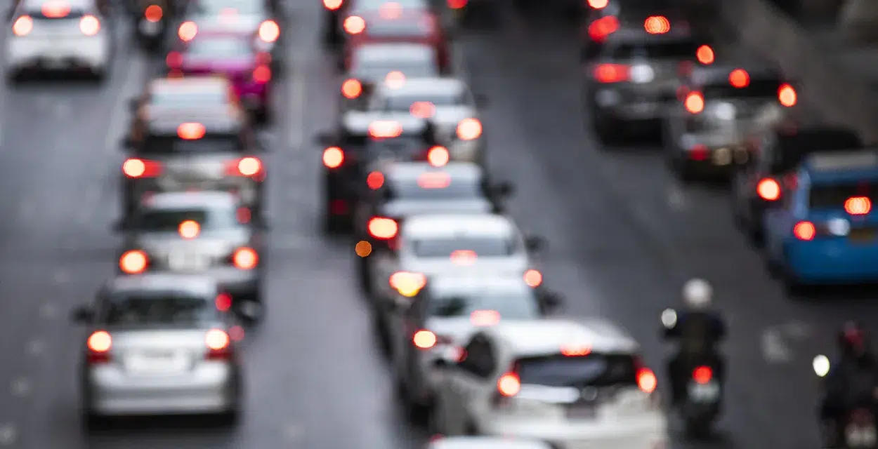
A new study has revealed the most traffic-congested areas across the UK. Accident compensation experts Claims.co.uk analysed public data relating to traffic congestion within local authorities throughout 2022.
This included looking at the total number of miles that all vehicles have travelled through the area, the number of licensed vehicles, and the average number of vehicles that travel through on an average day of the year (average daily flow count). This data was then combined to create a total ‘congestion score’ out of 100 for each local authority.
Hampshire ranked as the most congested area with a ‘congestion score’ of 83.01 out of 100. It had the highest number of licensed vehicles at the end of 2022 of any local authority, at approximately 1.13 million, and had the second highest number of total traffic miles from all vehicles, at 9.23 billion miles. Hampshire also had an average daily flow count of 4,499 vehicles, when compared with other local authorities.
Essex came in second place with a total ‘congestion score’ of 81.5 out of 100. It had the highest total number of vehicle traffic miles, with more than 9.4 billion miles, and came close behind Hampshire for the number of licensed vehicles with a total of around 992,200. It also recorded 4,992 vehicles for its annual average daily flow count.

Advertisement

Advertisement
Surrey ranks third with a total ‘congestion score’ of 78.22 out of 100. It scored higher than Hampshire and Essex for its annual average daily flow count, with 6,678 vehicles. However, it had a lower number of licensed vehicles at the end of 2022, with around 800,000 vehicles, and the total traffic miles from all vehicles in 2022, with just under 8.3 billion miles.
Kent came close behind in fourth with a total ‘congestion score’ of 78.17 out of 100. It scored highly for the total number of vehicle traffic miles in 2022, with more than 9.1 billion miles, and for the total number of licensed vehicles at the end of 2022, with around 993,000 registered vehicles.
Lancashire placed fifth with a total ‘congestion’ score of 63.63 out of 100. It had an average of 4,399 vehicles for its daily flow count and around 745,000 licensed vehicles registered at the end of the year, which is also the fifth highest for this factor.
Other local authorities in the top ten include Warwickshire, Staffordshire, Leeds, Derbyshire, and Leicestershire.
The Orkney Islands in Scotland was found to have the lowest amount of congestion, with a score of 2.24 out of 100.
A spokesman for Claims.co.uk commented:
“The amount of traffic congestion in a given area can differ drastically depending on factors such as how many vehicles are registered there or how many miles are travelled each day.
Advertisement

“Hampshire is known for its large amount of tourism due to picturesque locations such as the New Forest, though it is still surprising to see the area receive such a high final score.
Advertisement

“Considering how varied the results are for congestion level factors in 2022, it will be interesting to see how these rankings might change next year and whether any of these local authorities maintain similar scores in the list.”
25 most congested local authorities across the UK in 2022
| Rank | Local Authority | Total volume of all vehicle traffic miles in 2022 (Millions) | Number of licensed vehicles at end of 2022 (Thousands) | Annual average daily flow in 2022 by local authority (Vehicles) | Total Congestion Score out of 100 |
| 1. | Hampshire | 9,232.28 | 1127.7 | 4,499 | 83.01 |
| 2. | Essex | 9,409.92 | 992.2 | 4,992 | 81.50 |
| 3. | Surrey | 8,290.06 | 800.5 | 6,678 | 78.22 |
| 4. | Kent | 9,165.25 | 993.9 | 4,327 | 78.17 |
| 5. | Lancashire | 7,054.98 | 745.8 | 4,399 | 63.63 |
| 6. | Warwickshire | 5,850.14 | 418 | 5,982 | 55.65 |
| 7. | Staffordshire | 5,873.78 | 595.1 | 4,123 | 53.95 |
| 8. | Leeds | 4,067.53 | 509.7 | 6,126 | 52.59 |
| 9. | Derbyshire | 5,304.63 | 612.3 | 4,136 | 52.49 |
| 10. | Leicestershire | 5,062.10 | 502.5 | 4,762 | 50.75 |
| 11. | Birmingham | 3,583.94 | 471.5 | 6,131 | 49.76 |
| 12. | Nottinghamshire | 4,766.51 | 512.9 | 4,692 | 49.75 |
| 13. | Cambridgeshire | 5,012.84 | 437 | 4,759 | 48.63 |
| 14. | West Sussex | 4,151.60 | 575.9 | 4,436 | 48.47 |
| 15. | Norfolk | 5,278.74 | 625.3 | 2,682 | 47.30 |
| 16. | Oxfordshire | 4,572.00 | 470.3 | 4,290 | 46.28 |
| 17. | South Gloucestershire | 2,554.22 | 330 | 7,219 | 46.04 |
| 18. | Worcestershire | 4,351.56 | 461 | 4,497 | 46.01 |
| 19. | Devon | 5,771.43 | 609.6 | 1,958 | 45.85 |
| 20. | Buckinghamshire | 3,939.52 | 377.8 | 5,175 | 44.65 |
| 21. | West Northamptonshire | 3,652.70 | 280.9 | 6,160 | 44.48 |
| 22. | Hillingdon | 1,431.37 | 160.1 | 8,670 | 42.51 |
| 23. | North Yorkshire | 5,301.12 | 449.5 | 2,682 | 42.18 |
| 24. | Gloucestershire | 4,248.66 | 449.4 | 3,340 | 40.94 |
| 25. | Cardiff | 1,917.42 | 171.5 | 7,650 | 40.72 |